AEROSPECT empowers architects, engineers, real estate developers, and facility management companies to leverage drone technology in ways that save time and money, reduce risk, and enhance efficiency.
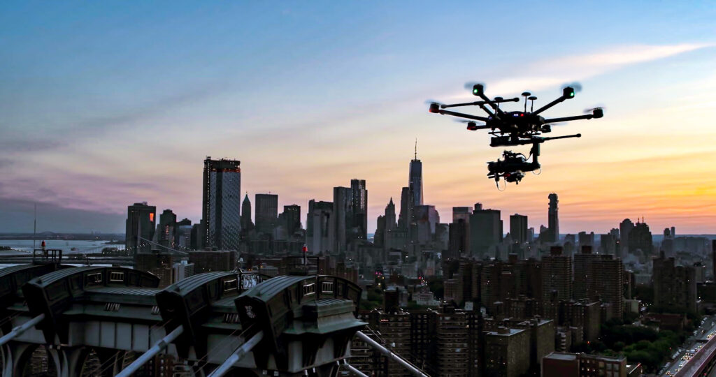
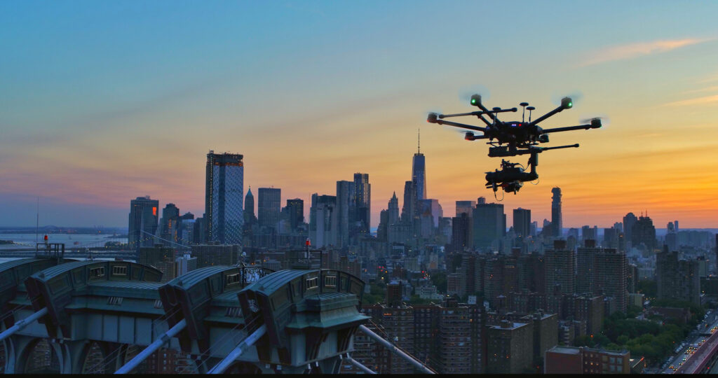
Since 2018, we have been at the forefront of pioneering drone-based façade inspections in New York City, working tirelessly to refine and perfect our process. As the first to introduce this technology in NYC, we have collaborated with some of the city’s largest and most respected architecture and engineering firms to set new industry standards. Our commitment to innovation and precision has helped revolutionize the way building assessments are conducted, making inspections safer, more efficient, and highly accurate.
Why Choose Drone Inspections for Buildings
Traditional building inspections often require costly and time-consuming scaffolding, rope access, or lift equipment, exposing workers to significant safety risks and causing disruptions to ongoing operations. AeroSpect eliminates these challenges by providing rapid, high-resolution aerial surveys that safely reach difficult or hazardous areas without physical contact.
This approach not only accelerates drone inspection timelines from weeks and months down to hours, but also provides precise visual and spatial data that supports regulatory compliance. By replacing manual access methods, drones reduce costs, improve safety, and enable a more thorough and repeatable assessment of building conditions.
What We Offer?
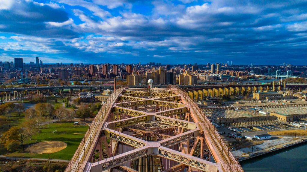
Drone Facade
Safer inspections of building exteriors
Drone-based façade inspections provide a detailed visual assessment of building exteriors without the need for scaffolding or rope access. This approach enables efficient documentation of façade conditions, material deterioration, and visible defects while reducing risk to personnel and minimizing disruption to building occupants.
Deliverables: High-resolution photos and a digital twin of your building, allowing you and your team to annotate directly onto the model, making it super useful and suitable for engineering reviews and long-term records.
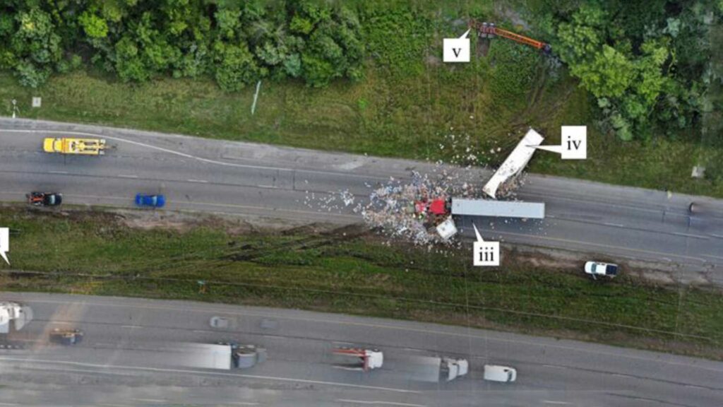
Accident Forensics
Objective documentation for incident analysis
Aerial documentation of accident scenes captures comprehensive visual evidence from multiple angles. Rapid drone deployment helps preserve scene conditions while supporting insurance investigations, legal review, and forensic analysis with accurate records.
Deliverables: Time and GPS-stamped aerial imagery, site overview visuals, and structured documentation packages for insurance and legal use.
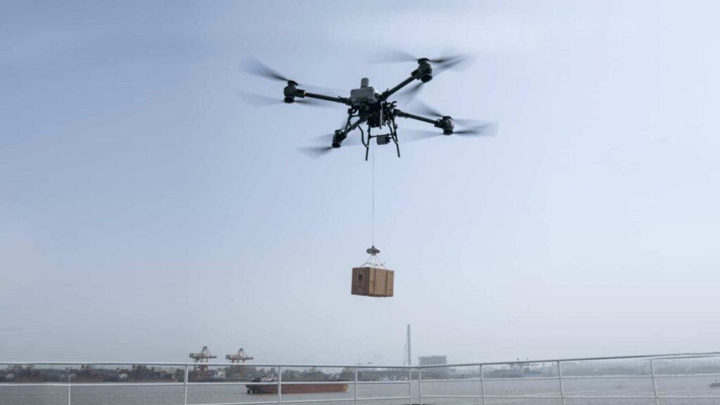
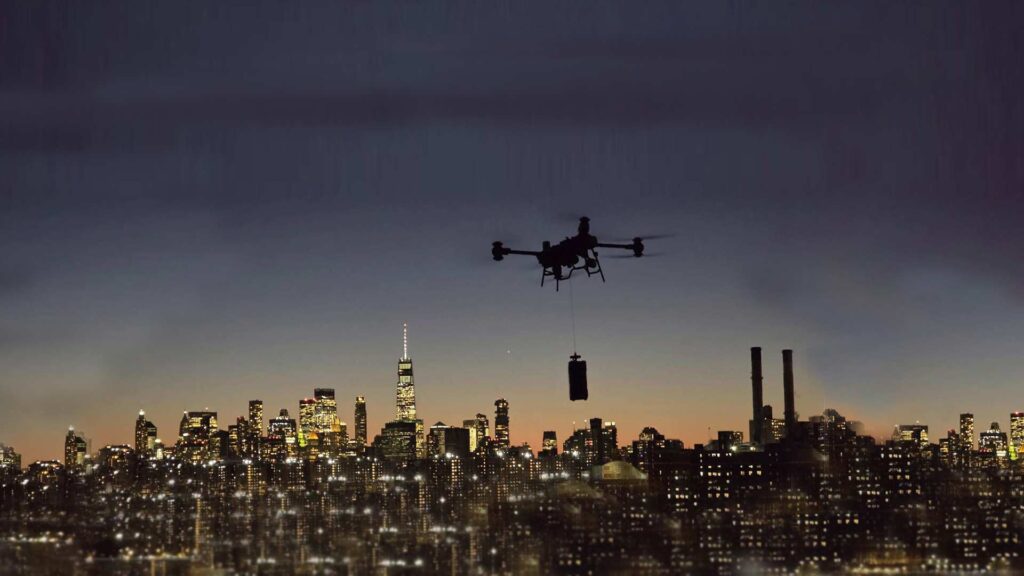
Drone Delivery
Rapid point-to-point aerial transport
The DJI FlyCart 30 is well-suited for emergency and rapid-response disaster relief operations, where speed, reliability, and access are critical. Its heavy-lift capacity and ability to operate in challenging weather allow essential supplies, equipment, or communications gear to be moved quickly into areas that may be inaccessible by ground vehicles. By reducing response time and minimizing risk to personnel, platforms like the FlyCart 30 can play a meaningful role in supporting disaster response and recovery efforts.
Rentals
Flexible access to professional drone systems
Drone and sensor rentals provide access to advanced aerial equipment without long-term ownership. Optional pilot or operational support ensures data is captured safely, efficiently, and according to the required project specifications.
LiDAR Scanning
High-accuracy 3D spatial data capture
Aerial LiDAR scanning produces precise three-dimensional data for terrain mapping, structural analysis, and volumetric measurement. This approach is particularly effective in complex or hard-to-access environments where traditional surveying methods are limited.
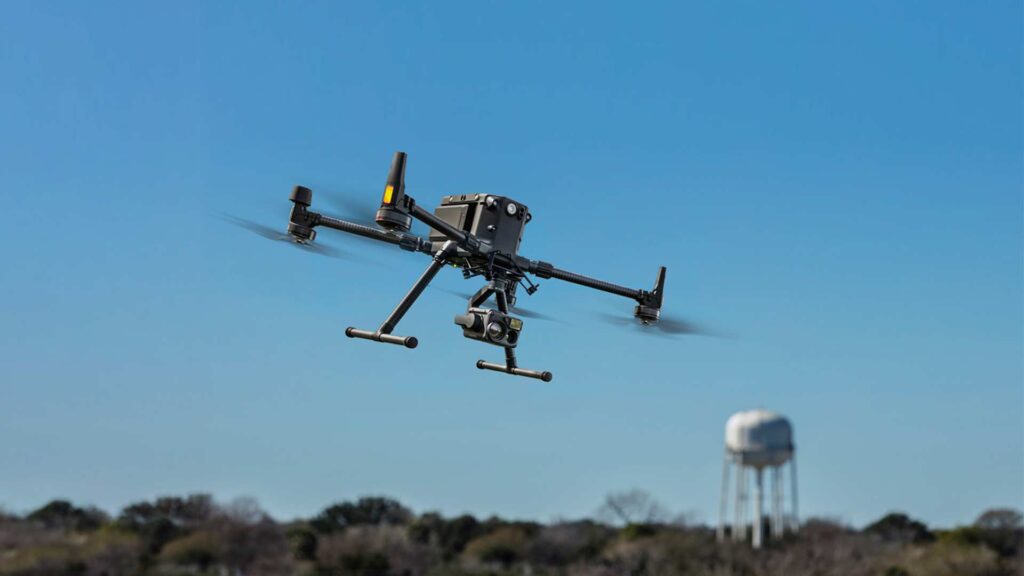
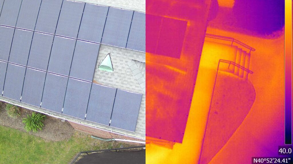
Aerial Inspection
Efficient assessment of hard-to-reach assets
Drone-based aerial inspections are used to evaluate roofs, infrastructure, and vertical assets quickly and safely. The approach reduces downtime while providing consistent, repeatable visual data for condition monitoring.

Frequently Asked Questions – Professional Drone Inspections
Yes. Drone surveys provide faster, safer, and often more cost-effective inspections compared to traditional methods. They reduce the need for manual methods, minimize disruption, and deliver high-resolution imagery and precise data for better decision-making.
Drones can replace many façade, roof, thermal, and structural inspections that involve manual access methods, which can be time-consuming and risky. However, inspections that require physical sampling or close-up manual measurements may still need to be performed using traditional techniques.
We use advanced drones equipped with high-resolution cameras and GPS for precise positioning. Data is processed using industry-standard photogrammetry and mapping software to create accurate, georeferenced images and 3D models.
Most drone inspections can be completed within a day, depending on the size and complexity of the site; it may take 2 days. This is significantly faster than traditional inspections that can take weeks or months.
Yes. Drone operations in New York City require FAA Part 107–certified pilots and strict compliance with local and municipal regulations. AeroSpect Inc. manages required authorizations and approvals to support compliant and safe operations.
Trusted by: